


Chennai, Nov 11:
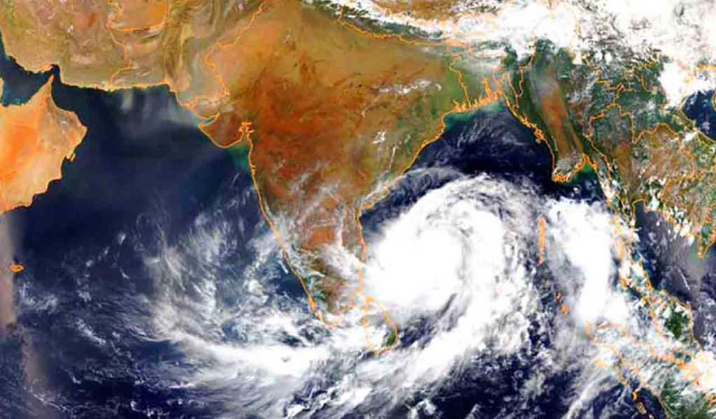
A fresh low-pressure system is set to form over the southeast Bay of Bengal on Friday, November 13, and is likely to intensify into a depression within the subsequent 24 hours as it tracks in a northwesterly direction towards the Tamil Nadu coastline.
According to Regional Meteorological Centre (RMC) Director S. Balachandran, the system is developing under the influence of an upper air cyclonic circulation prevailing over the Gulf of Mannar and adjoining areas, alongside another atmospheric system over the southeast Arabian Sea near the Lakshadweep archipelago. Weather officials warned that atmospheric conditions remain conducive for the system to intensify into a cyclonic disturbance as it approaches Sri Lanka and the coastal districts of Tamil Nadu between November 15 and 20.
In the interim, the weather department has forecast light to moderate rainfall accompanied by thunderstorms across southern coastal belts, including Thoothukudi, Ramanathapuram, Tirunelveli, and Sivaganga. The state government has placed disaster management mechanisms on alert and advised deep-sea fishermen across coastal hamlets to return to the shore by Thursday evening.