


Chennai, Nov 13:
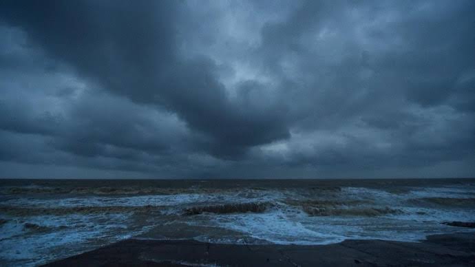
A fresh low-pressure area formed over the southeast Bay of Bengal at 5:30 am on Friday under the influence of an upper-air cyclonic circulation, the India Meteorological Department (IMD) confirmed in its latest weather bulletin.
According to the meteorological office, the weather system—the third successive low-pressure formation in the Bay of Bengal during the ongoing northeast monsoon season—is expected to move northwestwards and intensify into a well-marked low-pressure area on Saturday, November 14, before concentrating further into a depression over the same region by Sunday, November 15. Should the system intensify further into a cyclonic storm, it will be named ‘Aqwan’, a name proposed by Iran.
In view of the strengthening system, the IMD has warned of squally weather with wind speeds reaching 40–50 kmph, gusting up to 60 kmph, over the Andaman Sea and parts of the southeast Bay of Bengal on November 13 and 14. Wind speeds are projected to intensify to 45–55 kmph, gusting to 65 kmph, across the southeast, southwest, and adjoining east-central Bay of Bengal between November 15 and 17. Fishermen have been strictly advised not to venture into the Andaman Sea, southeast Bay of Bengal, and adjoining east-central Bay of Bengal until November 17, and to avoid parts of the southwest Bay of Bengal from November 15 to 17.
Meanwhile, under the influence of prevailing easterly winds, the Regional Meteorological Centre (RMC) in Chennai has forecast light rainfall at isolated places across northern coastal Tamil Nadu, Western Ghats districts, Puducherry, and Karaikal on November 13 and 14. Moderate to isolated heavy rainfall is expected over the hilly areas of Tirunelveli and Kanniyakumari, as well as parts of the Cauvery delta, southern Tamil Nadu, and Karaikal between November 15 and 18, while heavy showers are also predicted at isolated spots over the Andaman and Nicobar Islands on Friday and Saturday. @@@@