


Chennai, Oct 17:
With the Northeast monsoon remaining active and vigorous over Tamil Nadu during the last two days with several districts experiencing copious showers, a new Low Pressure area is likely to form over Bay on October 19, the first after the onset of the monsoon.
Met office on Saturday evening said an upper air cyclonic circulation lay over Southwest Arabian Sea extended up to middle tropospheric levels at 1430 hrs today. Under its influence, a Low Pressure Area is likely to form over the same region around 19 October.
Citing satellite imagery and Doppler Weather Radar observations, it said they indicated movement of convective clouds over Chennai and its neighbourhood. Thunderstorms accompanied by rainfall is likely over Chennai and adjoining areas during the coming hours.
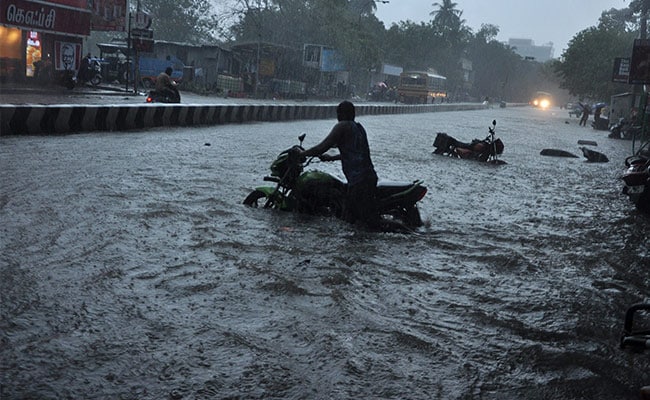
True to its forecast, several parts of Chennai city, suburbs, adjoining districts and several districts of state has been witnessing heavy showers. The rainfall, accompanied by thunder, was quite heavy in the city as it lashed several parts of the city.
According to a private wether blogger, couple of areas in Chennai has recorded 10 cms of rains and the spell was likely to continue.
The formation of a LP area was expected to further intensify the rainfall activity over Tamil Nadu in the coming days, as the people in the city and districts are bracing up to face the wet spells